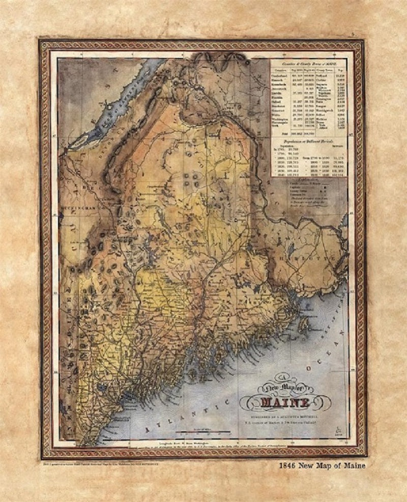
002 1846 New Map of Maine
This map is significant in that it appeared in 28 different versions between the years 1833 and 1860. Originally, Henry Tanner, a prominent map publisher from Philadelphia, created the map for inclusion in his Universal Atlas. Eventually, several other Philadelphia map publishers issued the same atlas following the year 1842. In 1846, Samuel Augustus Mitchell would produce the map, adding his own name in place of Tanner's during a failed color printing experiment. After that, other issues of the same map would appear with portions of updated content under different publishers. Hence the reason you may see so many very similar versions of this New Map of Maine. Who knew that the quiet state of Maine had such a storied cartographic history?
All Sizes are approximate.
"Watermarks will not appear on product."
