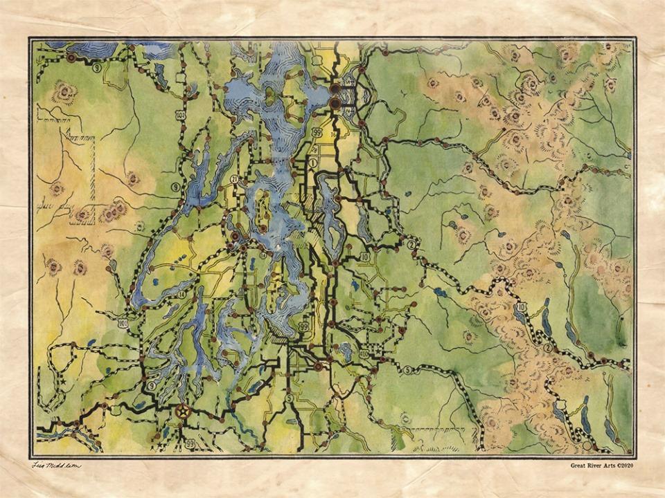
114 Seattle and Vacinity 1927
This Seattle and Vicinity map was published in 1927. It is an excerpt from Rand
McNally’s Auto Road Atlas of the United States and Ontario, Quebec, and the Maritime Provinces of Canada..
It shows settlements and classified roads with distances.
The 157-year-old company, Rand McNally, is staging a comeback after declaring bankruptcy over a
decade ago. It was overcome by Google and Garmin and now seeks to enter the digital age with niche
products for truckers and RV’ers, and personal navigation devices.
While we hope their comeback is successful we certainly enjoy the beautiful hand-drawn maps they have left behind.
All sizes are approximate.
